Top

Theme path: Source of the river Drava

Toblach
Add to favourites
Difficulty
Easy
Activity time
1:00
Duration in hours
Distance
4.3
Distance in km
Status
open
Categories
  • Themed trails
  • Hiking and mountain tours
  • Stroller-friendly
Tags
  • Linear route
  • Suitable for strollers
Suggested period
Jan
Feb
Mar
Apr
May
Jun
Jul
Aug
Sep
Oct
Nov
Dec
The walk is particularly suitable for families and offers a good insight into the interesting properties of the forest.

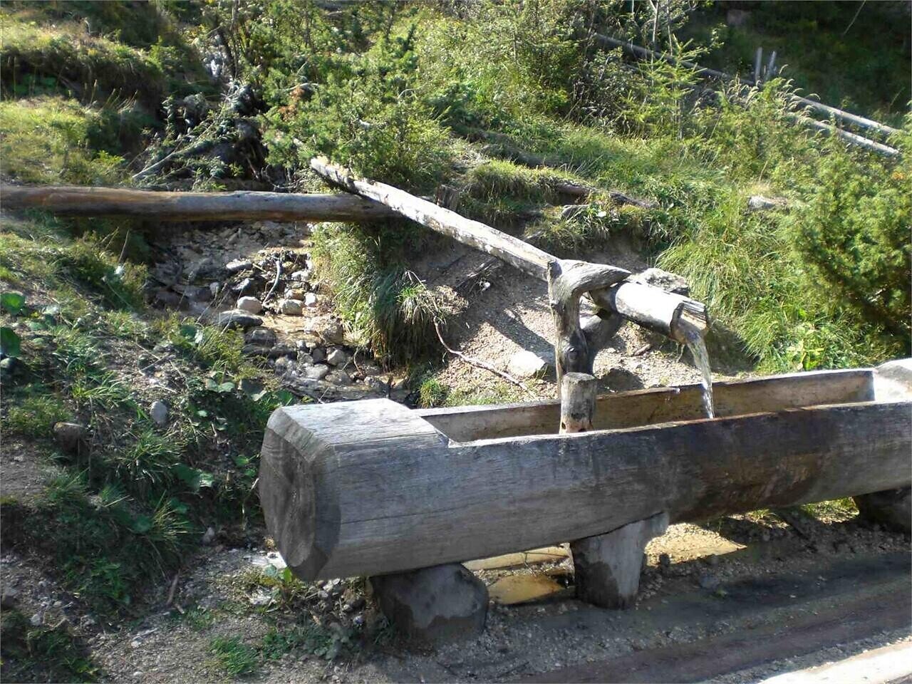
In the larch between Toblach/Dobbiaco and Innichen/San Candido is the source of the Drau/Drava river situated. During its 750 km long journey to the Danube the Drava flows through 5 European countries to the Black Sea.

Further information to the water treasures of Dobbiaco like the source of the Drava River: http://www.drei-zinnen.info/en/dobbiaco/dobbiaco/experiencing-dobbiaco/lago-di-dobbiaco-lago-di-landro-and-dobbiaco-water-treasures.html

suitable for baby stroller

Gallery
Categories
  • Themed trails
  • Hiking and mountain tours
  • Stroller-friendly
Tags
  • Linear route
  • Suitable for strollers
Route info
Easy
Distance
4,3 km
Activity time
1 h 00 min
Ascent
13 m
Descent
57 m
Technical skills
Physical effort
Scenary
Highest point
1.240 m
Lowest point
1.190 m
You might be interested in
Discover related tours
Pragser Tal
summer walk around the huts Plätzwiese highplateau
Distance 6,5 km
Activity time 2 h 00 min
Ascent 200 m
Descent 200 m
Status
open
Toblach
Summer hiking tour: View of the Three Peaks/Landro - Monte Piano
Distance 6,8 km
Activity time 3 h 30 min
Ascent 1.035 m
Descent 115 m
Status
Closed
Toblach
Summer hiking tour: Kandellen/Gandelle - Pfannhorn/Corno Fana
Distance 5,4 km
Activity time 3 h 00 min
Ascent 1.075 m
Descent 4 m
Status
Closed
Toblach
Family walking tour: Altschluderbach/Altschluderbach
Distance 10,5 km
Activity time 3 h 00 min
Ascent 220 m
Descent 220 m
Status
open
© Kotter Steger
Intermediate
Add to favourites
Pragser Tal
Summer-Circular Walk "Monte Nero/Schwarzberg"
Distance 8,0 km
Activity time 2 h 49 min
Ascent 650 m
Descent 650 m
Status
Closed
© @wisthaler
Intermediate
Add to favourites
Innichen, Sexten
From the Monte Elmo cable car along the "Hüttensteig" trail to the peak of Monte Elmo
Distance 5,2 km
Activity time 2 h 40 min
Ascent 436 m
Descent 434 m
Status
open