Top

Summer hiking tour: Säge/Segheria - Sarlkofel/Monte Serla

Toblach
Add to favourites
Difficulty
Difficult
Activity time
3:30
Duration in hours
Distance
6.3
Distance in km
Status
Closed
Categories
  • Hiking and mountain tours
Tags
  • Linear route
Suggested period
Jan
Feb
Mar
Apr
May
Jun
Jul
Aug
Sep
Oct
Nov
Dec
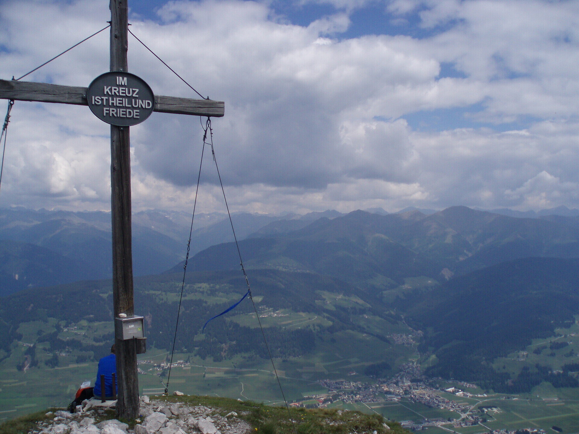
The mountain is Toblach's local mountain and offers a beautiful view of Toblach and the main Alpine ridge behind it.

The Sarlkofel/Monte Serla is located in the Fanes Sennes Prags/Braies Nature Park and can be easily reached from the village. You also have a wonderful view of Toblach/Dobbiaco from the summit.

Gallery
Categories
  • Hiking and mountain tours
Tags
  • Linear route
Route info
Difficult
Distance
6,3 km
Activity time
3 h 30 min
Ascent
1.197 m
Descent
48 m
Technical skills
Physical effort
Scenary
Highest point
2.378 m
Lowest point
1.226 m
You might be interested in
Discover related tours
© 3 Zinnen Dolomites - Harald Wisthaler
Intermediate
Add to favourites
Sexten
Alpine tour: On the Carnic Mountain Ridge
Distance 27,1 km
Activity time 9 h 00 min
Ascent 842 m
Descent 1.545 m
Status
Closed
Pragser Tal
Summer hiking - Lago di Braies/Pragser Wildsee - Mountain "Sasso del Signore/Herrenstein"
Distance 4,0 km
Activity time 2 h 21 min
Ascent 739 m
Descent 80 m
Status
Closed
© © DreiZinnenMarketing/M.Schönegger
Intermediate
Add to favourites
Toblach
Summer hiking tour: Toblach/Dobbiaco - Ratsberg/Monte Rota
Distance 4,5 km
Activity time 2 h 00 min
Ascent 393 m
Descent 5 m
Status
open
Pragser Tal
Family hiking tour - Corte - Larici - Villabassa/Säge - Lercha - Niederdorf
Distance 4,0 km
Activity time 1 h 03 min
Ascent 48 m
Descent 109 m
Status
open
© Scalabrini
Intermediate
Add to favourites
Niederdorf
Summer hiking tour: Niederdorf/Villabassa - Altschluderbach/Carbonin Vecchia - Rienz/Rienza (Copy)
Distance 5,0 km
Activity time 2 h 00 min
Status
open
© TV Sexten _ Harald Wisthaler
Intermediate
Add to favourites
Sexten
Hike: From Sexten to the Waldkapelle chapel
Distance 3,7 km
Activity time 1 h 15 min
Ascent 209 m
Descent 209 m
Status
open