Top

Summer hiking tour - Ponticello/Brückele - Prato Piazza/Plätzwiese

Pragser Tal
Add to favourites
Difficulty
Intermediate
Activity time
1:47
Duration in hours
Distance
4.2
Distance in km
Status
open
Categories
  • Hiking and mountain tours
Tags
  • Linear route
Suggested period
Jan
Feb
Mar
Apr
May
Jun
Jul
Aug
Sep
Oct
Nov
Dec
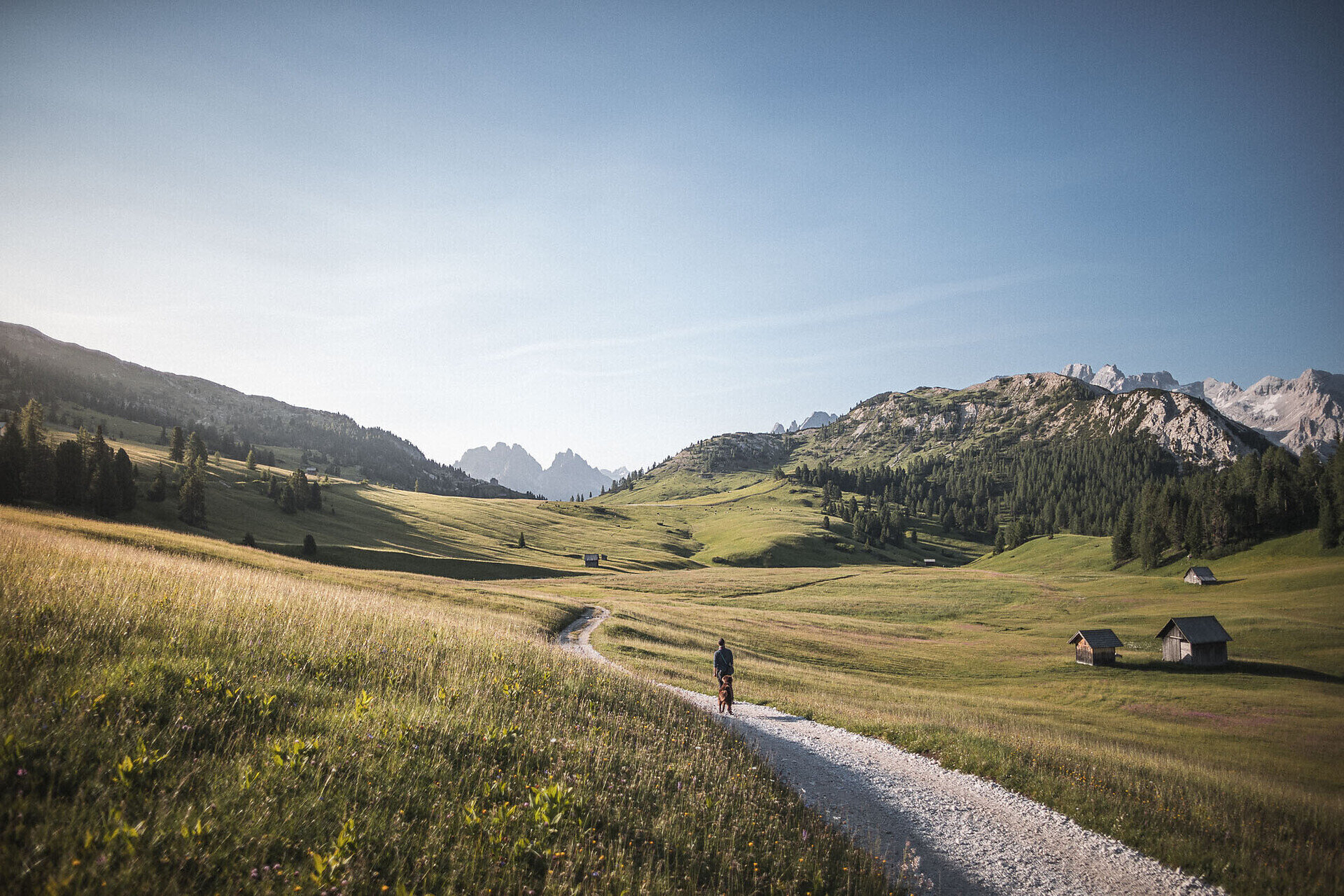
From Ponticello/Brückele along road to Prato Piazza/Plätzwiese. Walking time 2 h Alternative: Ponticello-Malga Stolla-Prato Piazza/Brückele-StollaAlm-Plätzwiese. Walking time 2 h

From Brückele/Ponticello along the main road (No. 37) to Prato Piazza/Plätzwiese. Walking time: 2 hours 

Alternative: Ponticello-Malga Stolla-Prato Piazza/Brückele-Stolla Alm-Plätzwiese. From Ponticello/Brückele along the main road to the third turn, then follow the hiking path n. 18 along the Stolla River to Malga Stolla/Stolla Alm; continue up-and-down alpine pastures to Prato Piazza/Plätzwiese. Walking time: 2 hours

Gallery
Categories
  • Hiking and mountain tours
Tags
  • Linear route
Route info
Intermediate
Distance
4,2 km
Activity time
1 h 47 min
Ascent
507 m
Descent
11 m
Technical skills
Physical effort
Scenary
Highest point
1.989 m
Lowest point
1.494 m
You might be interested in
Discover related tours
Sexten
Hike: The Three-hut-hike
Distance 16,2 km
Activity time 6 h 45 min
Ascent 1.198 m
Descent 1.120 m
Status
Closed
© @wisthaler
Intermediate
Add to favourites
Innichen, Sexten
Downhill into the valley, on the sunny side of Sesto
Distance 6,5 km
Activity time 2 h 10 min
Ascent 4 m
Descent 733 m
Status
open
Niederdorf
Circular hike Maistatt
Distance 4,8 km
Activity time 1 h 21 min
Ascent 133 m
Descent 133 m
Status
open
© ©
Intermediate
Add to favourites
Toblach
Summer hiking tour: Schluderbach/Carbonin - Dürrensteinhütte/Rifugio Vallandro hut
Distance 6,0 km
Activity time 2 h 00 min
Ascent 579 m
Status
Closed
Niederdorf
Circular hike: Niederdorf/Villabassa - Lanaweg
Distance 5,3 km
Activity time 1 h 37 min
Ascent 232 m
Descent 232 m
Status
open
Pragser Tal
summer walk around the huts Plätzwiese highplateau
Distance 6,5 km
Activity time 2 h 00 min
Ascent 200 m
Descent 200 m
Status
open