Top

Summer hiking tour: Lückerleschartl/Forcella del Lago - Hochebenkofl/Cima Piatta Alta

Toblach
Add to favourites
Difficulty
Difficult
Activity time
1:00
Duration in hours
Distance
1.5
Distance in km
Status
Closed
Categories
  • Hiking and mountain tours
Tags
  • Linear route
Suggested period
Jan
Feb
Mar
Apr
May
Jun
Jul
Aug
Sep
Oct
Nov
Dec
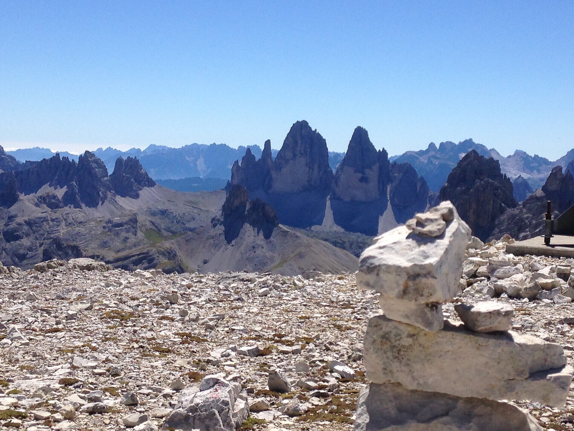
The Cima Piatta Alta is the second highest mountain in Dobbiaco.

The Hochebenkofl/Cima Piatta Alta is the second highest mountain in Toblach/Dobbiaco, which can be reached without climbing. From there you can reach the highest mountain without climbing on a very exposed path, the Birkenkofel/Cima del Baranci, in about 15 minutes.

Gallery
Categories
  • Hiking and mountain tours
Tags
  • Linear route
Route info
Difficult
Distance
1,5 km
Activity time
1 h 00 min
Ascent
381 m
Technical skills
Physical effort
Scenary
Highest point
2.902 m
Lowest point
2.520 m
You might be interested in
Discover related tours
Toblach
Theme path: Source of the river Drava
Distance 4,3 km
Activity time 1 h 00 min
Ascent 13 m
Descent 57 m
Status
open
© Kottersteger
Intermediate
Add to favourites
Innichen
Hike: San Candido - Costa dei Nosellari/Haselsberg - Dobbiaco
Distance 4,8 km
Activity time 1 h 50 min
Ascent 161 m
Descent 109 m
Status
open
© Kotter Steger
Intermediate
Add to favourites
Pragser Tal
Summer hiking - Altprags/Braies Vecchia - Putzalm hut
Distance 2,4 km
Activity time 1 h 12 min
Ascent 363 m
Descent 56 m
Status
Closed
Innichen
Snowshoe hike: Val Campo di Dentro/Innerfeldtal Valley
Distance 5,7 km
Activity time 2 h 00 min
Ascent 357 m
Status
Closed
Toblach
Theme path: Toblach/Dobbiaco- Toblach/Dobbiaco lake - Nature Educational Trail - Toblach/Dobbiaco
Distance 7,9 km
Activity time 2 h 30 min
Ascent 61 m
Descent 61 m
Status
open
Pragser Tal
Summer hiking tour - Lago di Braies/Pragser Wildsee lake - Malga Cavollo hut
Distance 6,6 km
Activity time 2 h 56 min
Ascent 846 m
Descent 158 m
Status
Closed