Top

Summer hiking tour: Kandellen/Gandelle - Pfannhorn/Corno Fana

Toblach
Add to favourites
Difficulty
Difficult
Activity time
3:00
Duration in hours
Distance
5.4
Distance in km
Status
Closed
Categories
  • Hiking and mountain tours
Tags
  • Linear route
Suggested period
Jan
Feb
Mar
Apr
May
Jun
Jul
Aug
Sep
Oct
Nov
Dec
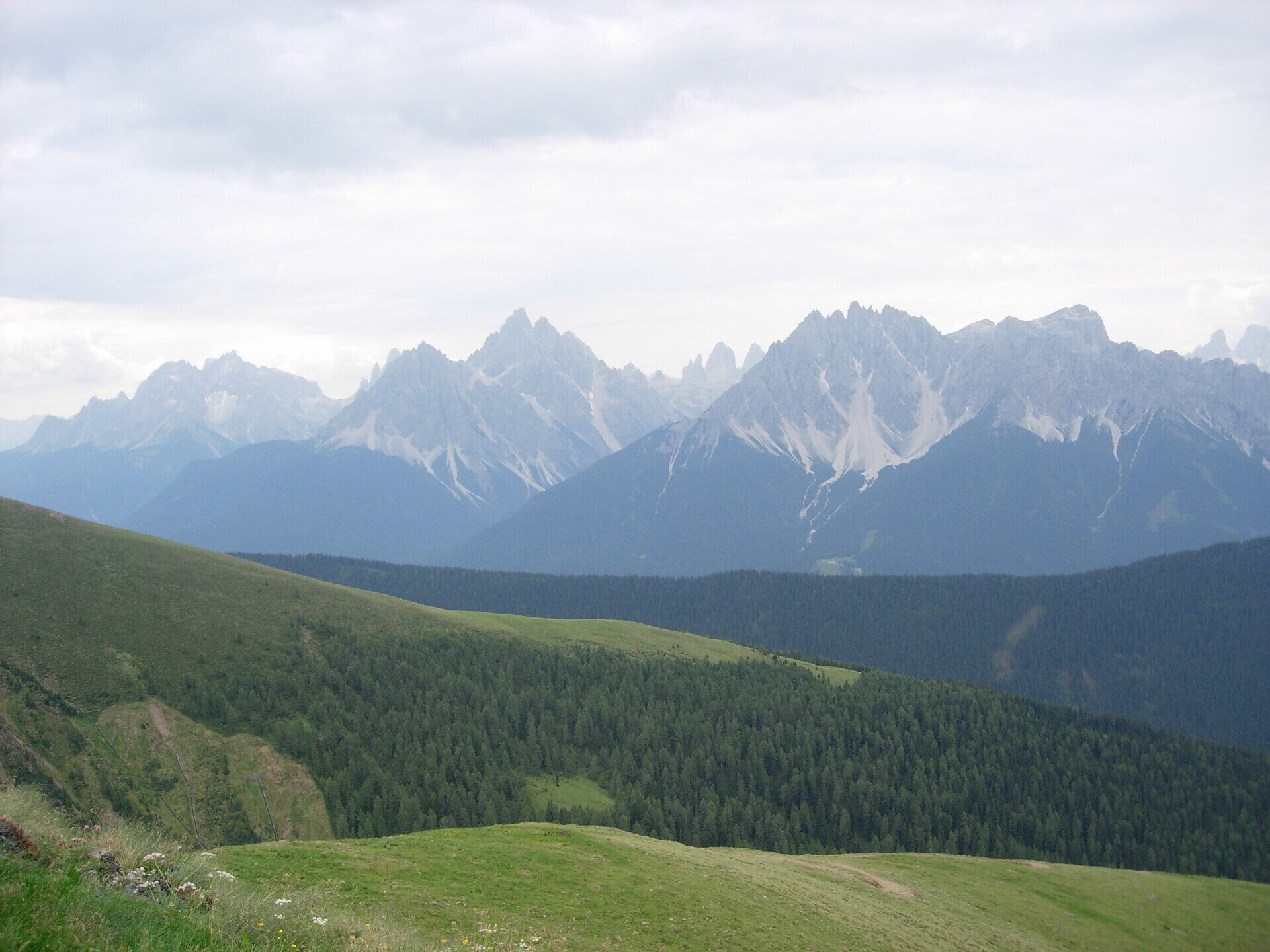
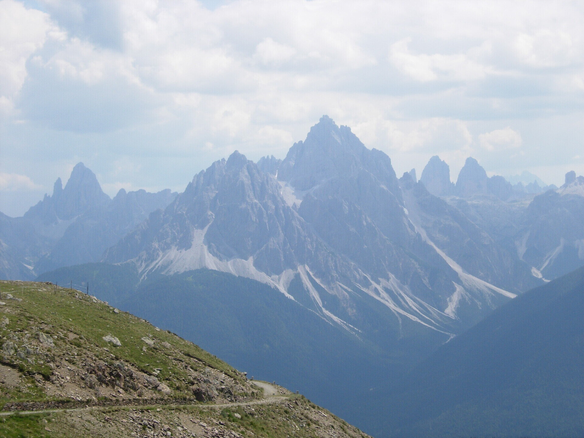
The mountain offers a beautiful view of the Dolomites. It is considered by many to be one of the best panoramic mountains in Europe.

The hike to Pfannhorn/Corno Fana is particularly recommendable because of the mountain panorama. As the mountain is already in the main Alpine crest you have a breathtaking view of all the famous Dolomite peaks, the Ortler group and the Ötztaler Alps. On the summit there is a panorama map on which all the mountains are signed.

Gallery
Categories
  • Hiking and mountain tours
Tags
  • Linear route
Route info
Difficult
Distance
5,4 km
Activity time
3 h 00 min
Ascent
1.075 m
Descent
4 m
Technical skills
Physical effort
Scenary
Highest point
2.662 m
Lowest point
1.591 m
You might be interested in
Discover related tours
© @TVToblach
Intermediate
Add to favourites
Toblach
Summer-walk around the Bonner hut
Distance 13,9 km
Activity time 4 h 30 min
Ascent 1.084 m
Descent 1.084 m
Status
Closed
© Obwegs Carlo
Intermediate
Add to favourites
Pragser Tal
Hike to Pragser Wildsee/Lago di Braies
Distance 14,6 km
Activity time 4 h 59 min
Ascent 1.079 m
Descent 828 m
Status
open
© © TvToblach
Intermediate
Add to favourites
Toblach
Summer hiking tour: Sentiero Paul Grohmann Weg
Distance 11,5 km
Activity time 4 h 11 min
Ascent 1.068 m
Descent 148 m
Status
Closed
Niederdorf
Villabassa/Niederdorf - Minizoo Camping Olympia - Bad Maistatt - Niederdorf/Villabassa
Distance 5,7 km
Activity time 1 h 30 min
Status
open
Toblach
Summer hiking tour: Toblach/Dobbiaco - Fontanta "ZweiWasserBrunnen" - labyrinth
Distance 3,3 km
Activity time 2 h 00 min
Ascent 182 m
Descent 66 m
Status
open
Sexten
Family hike with buggy: Sexten – Fischleintal valley – Talschlusshütte hut
Distance 12,3 km
Activity time 3 h 05 min
Ascent 221 m
Descent 222 m
Status
open