Top

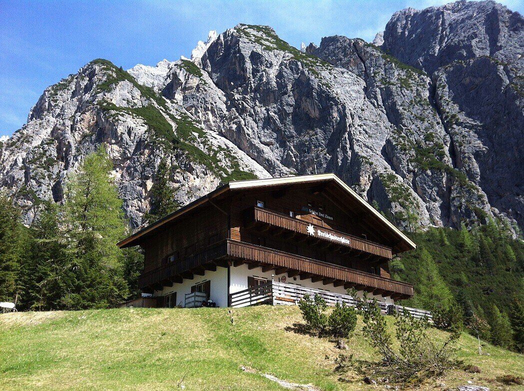
Hike: Rifugio Tre Scarperi/Dreischusterhütte Mountain Hut

Innichen
Add to favourites
Difficulty
Intermediate
Activity time
2:00
Duration in hours
Distance
5.7
Distance in km
Status
open
Categories
  • Hiking and mountain tours
Tags
  • Linear route
  • Family-friendly
Suggested period
Jan
Feb
Mar
Apr
May
Jun
Jul
Aug
Sep
Oct
Nov
Dec

Probably one of the nicest hikes in the San Candido/Innichen region. Its main attraction is the wonderful peaks of the Sexten Dolomites that tower over the whole of the Innerfeldtal valley. The area is also part of the Drei Zinnen Nature Park and is therefore a place of special beauty and tranquillity. The destination for this hike is the Dreischusterhütte mountain hut, which is open from June to the beginning of October and also has accommodation. The hike is relatively easy with no particularly difficult sections.

Gallery
Categories
  • Hiking and mountain tours
Tags
  • Linear route
  • Family-friendly
Route info
Intermediate
Distance
5,7 km
Activity time
2 h 00 min
Ascent
358 m
Technical skills
Physical effort
Scenary
Highest point
1.626 m
Lowest point
1.257 m
You might be interested in
Discover related tours
© TV Sexten - Harald Wisthaler
Intermediate
Add to favourites
Sexten
Hike: Into the Innerfeldtal valley
Distance 10,2 km
Activity time 3 h 00 min
Ascent 384 m
Descent 365 m
Status
open
Innichen
Family hike: Source of the Drava (Drau) River
Distance 2,4 km
Activity time 45 min
Ascent 43 m
Descent 24 m
Status
open
© © TvToblach
Intermediate
Add to favourites
Toblach
Summer hiking tour: Sentiero Paul Grohmann Weg
Distance 11,5 km
Activity time 4 h 11 min
Ascent 1.068 m
Descent 148 m
Status
Closed
Toblach
Summer hiking tour: Säge/Segheria - Sarlkofel/Monte Serla
Distance 6,3 km
Activity time 3 h 30 min
Ascent 1.197 m
Descent 48 m
Status
Closed
Toblach
Theme path: Toblach/Dobbiaco - Fontanta "ZweiWasserBrunnen" - labyrinth
Distance 3,3 km
Activity time 2 h 00 min
Ascent 182 m
Descent 66 m
Status
open
© Harald Wisthaler
Intermediate
Add to favourites
Sexten
Hike: Innerfeldtal valley - Fischleintal valley
Distance 27,6 km
Activity time 9 h 05 min
Ascent 1.235 m
Descent 1.232 m
Status
Closed