Top

Dolomites UNESCO Geotrail - Stage 10: from the Dreizinnen Hut to Sesto/Sexten

Sexten
Add to favourites
Difficulty
Difficult
Activity time
4:55
Duration in hours
Distance
15.7
Distance in km
Status
Closed
Categories
  • Hiking and mountain tours
Tags
  • Linear route
Suggested period
Jan
Feb
Mar
Apr
May
Jun
Jul
Aug
Sep
Oct
Nov
Dec
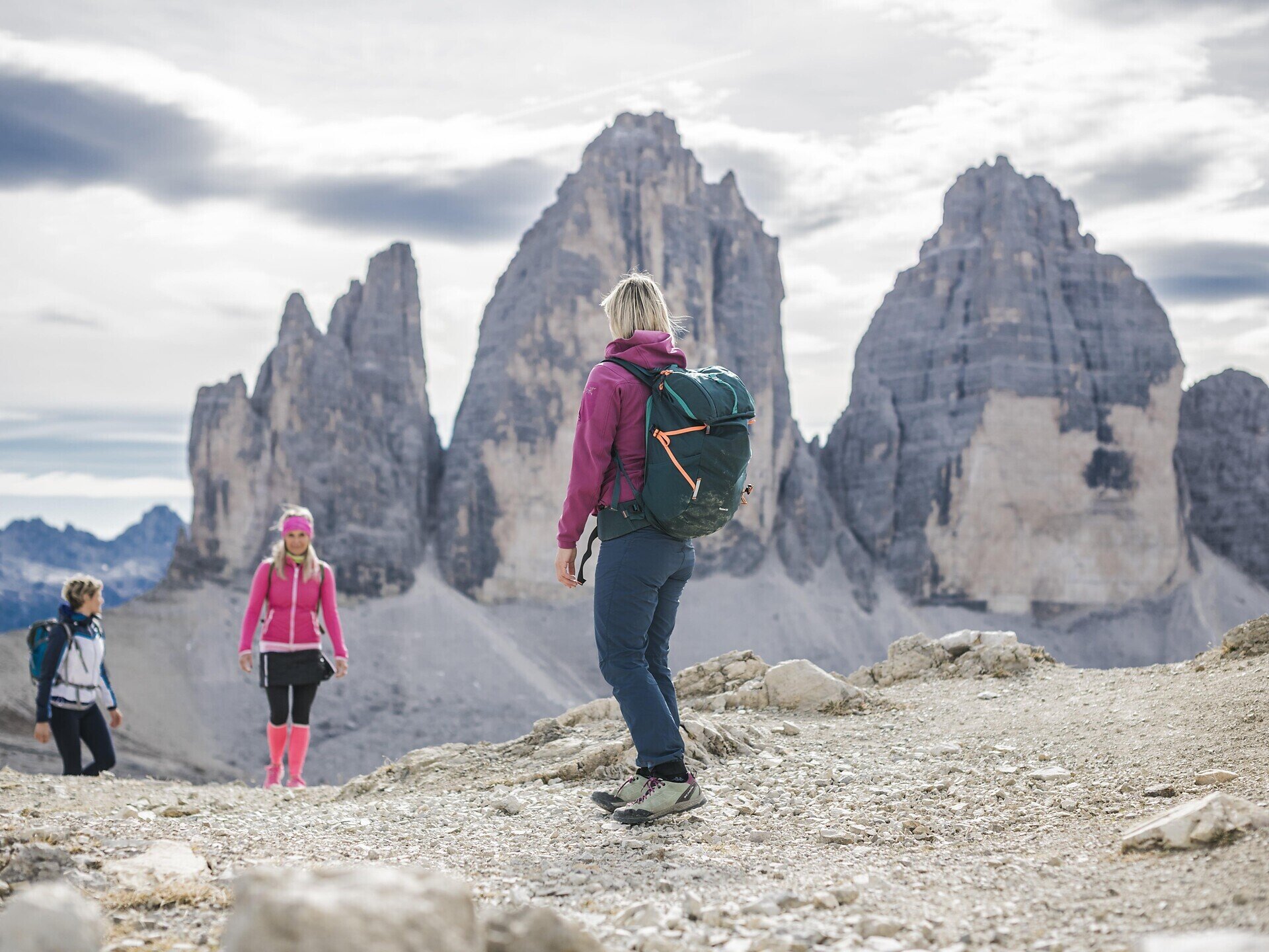
The Geotrail crosses the South Tyrolean Dolomites in 10 days; this stage runs from the Dreizinnenhütte to Sexten. 
  • Passing some of the most beautiful and geologically interesting mountain groups in the Dolomites
  • Overnight stays in Dolomite huts
  • Long-distance hiking trail across South Tyrol
Gallery
Categories
  • Hiking and mountain tours
Tags
  • Linear route
Route info
Difficult
Distance
15,7 km
Activity time
4 h 55 min
Ascent
251 m
Descent
1.348 m
Technical skills
Physical effort
Scenary
Highest point
2.560 m
Lowest point
1.313 m
You might be interested in
Discover related tours
Innichen, Sexten
Almenwanderung
Distance 14,6 km
Activity time 3 h 51 min
Ascent 181 m
Descent 846 m
Status
open
© Kottersteger
Intermediate
Add to favourites
Innichen
Hike: War cemetery "Burg" - Capella del bosco - Sesto/"Burg"-Waldkapelle-Sexten
Distance 8,0 km
Activity time 3 h 00 min
Ascent 400 m
Descent 257 m
Status
open
Innichen
To the Piccola Rocca di Baranci
Distance 8,8 km
Activity time 4 h 00 min
Ascent 704 m
Descent 704 m
Status
open
Innichen
Hike: Val campo di Dentro- Forcella del lago (2.545 m) - Valle di Landro Innerfeld - Lückeleschartl 2.545 m - Höhlensteintal
Distance 16,0 km
Activity time 6 h 00 min
Ascent 1.273 m
Descent 1.226 m
Status
open
© @wisthaler
Intermediate
Add to favourites
Innichen
Woodland trail to Dobbiaco
Distance 7,9 km
Activity time 2 h 50 min
Ascent 266 m
Descent 568 m
Status
open
Pragser Tal
Theme path: Sorgente "Maite"/Quellenweg
Distance 1,9 km
Activity time 31 min
Ascent 46 m
Descent 38 m
Status
open